Ramsay-Shockey Open Space
Adjacent to Pinewood Reservoir
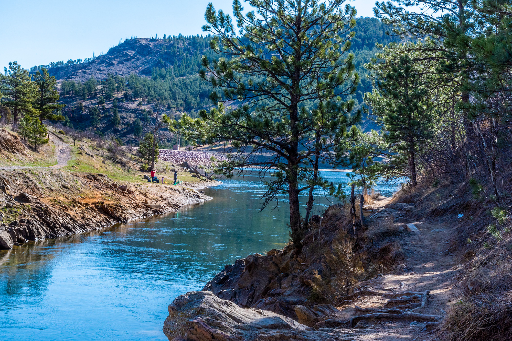
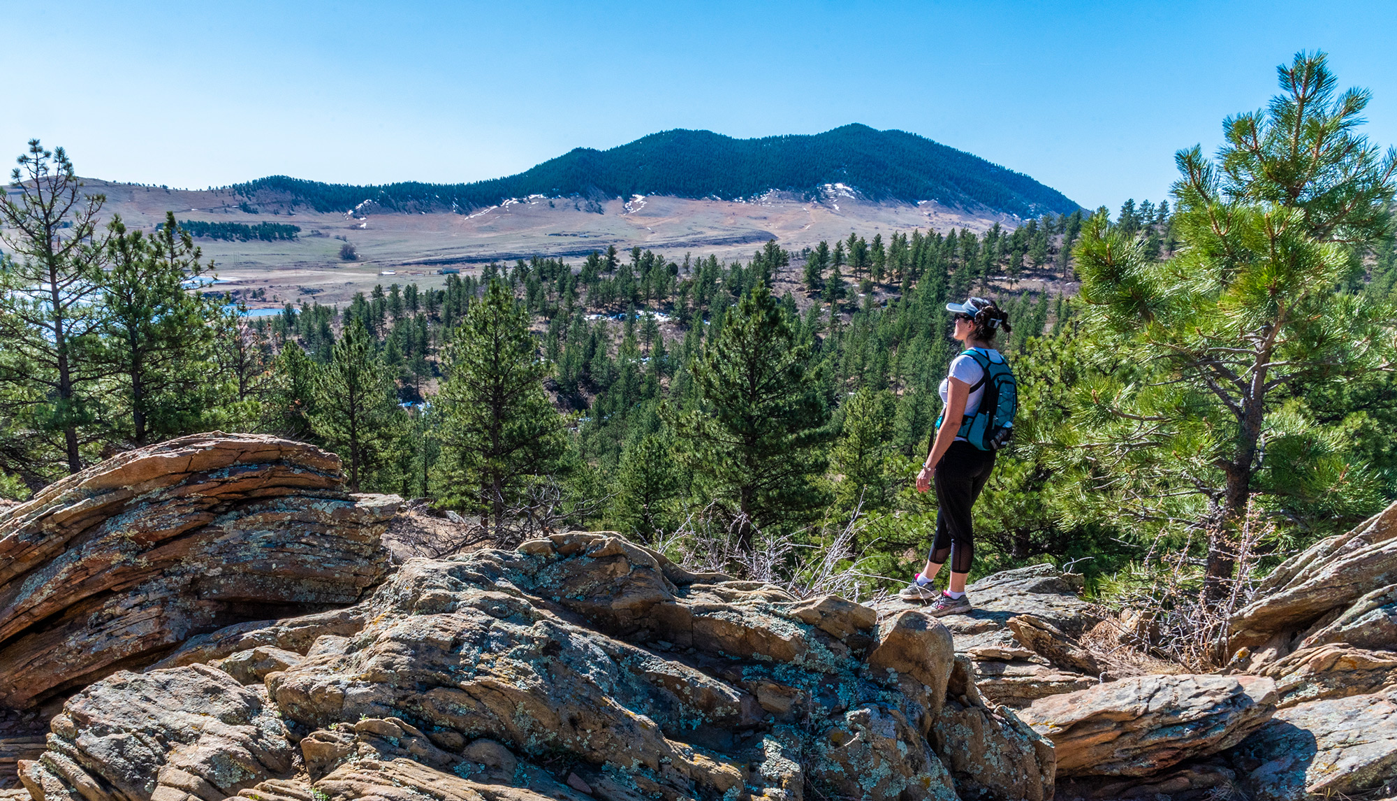
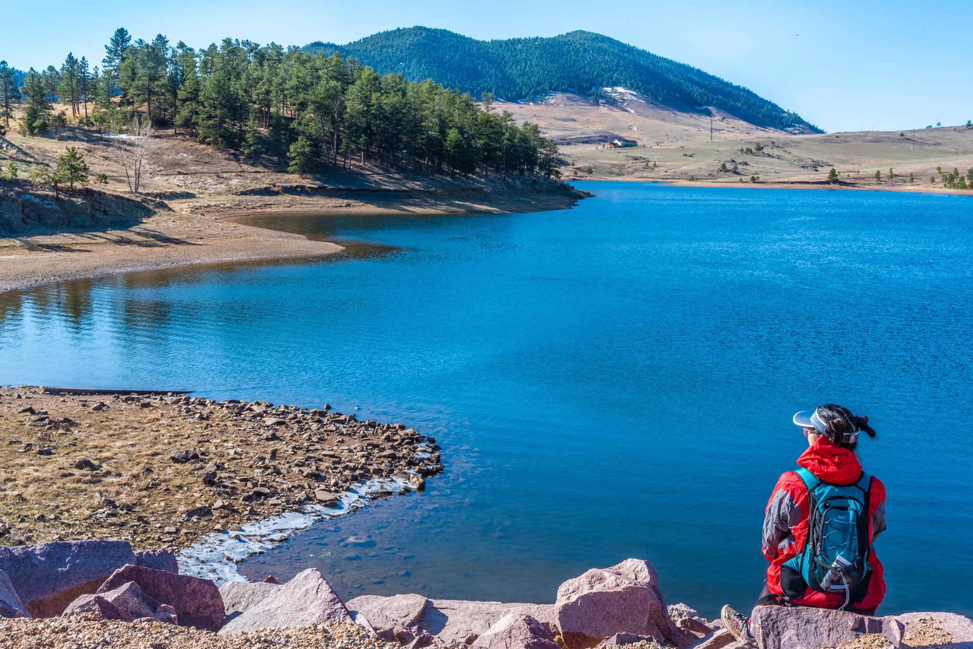
The 177-acre Ramsay-Shockey Open Space has a four-mile natural surface trail. Hikers and mountain bikers can enjoy extraordinary vistas of the surrounding valley in a peaceful ponderosa-pine-forest and open-meadow setting. A ¼-mile wheelchair-accessible boardwalk starts at Pinewood Reservoir's Blue Mountain Trailhead.
This open space was purchased in 1997 to protect important wildlife habitat, provide a buffer to Pinewood Reservoir, and expand recreational activities. An interpretive brochure, available at the trailhead, corresponds to numbered stops along trails and teaches about native flora, abundant fauna, outstanding geology, and the remarkable history of this area.
Ramsay-Shockey Open Space requires entrance permits, is open year-round from sunrise to sunset, and is located next to Pinewood Reservoir, southwest of Loveland, Colorado, and northwest of Berthoud, Colorado.
Brochure Brochure (Spanish) Trail Map Entrance Permits Regulations
Features
Map & Directions
From Denver:
- Take I-25 North to the Berthoud Exit (Exit 250).
- Turn left (west) onto Highway 56 and continue for 9 1/2 miles. (You will pass through the town of Berthoud.)
- Watch for the Carter Lake road sign after a sharp curve to the north (right).
- Turn left (west) onto County Road 8E and continue for 3 miles.
- Stop at the entrance station to purchase Park Entrance Permits, Follow County Road 8E west to the intersection about halfway up the hill. A sign will direct you to continue straight to the South Shore Campground or to turn right to Carter Knolls Campground, the swim beach, Big Thompson Campground, Carter Lake Marina, Eagle Campground, Lowell's Campground and North Pines Campground. The Natural Resources Department is located about 2 miles north of Carter Lake at 1800 South County Road 31.
From Longmont or Boulder:
- Take U.S. Highway 287 north to County Road 56 west of Berthoud.
- Turn left (west) onto County Road 56.
Follow direction from # 3 above
From Loveland:
- Drive west of Loveland on U.S. Highway 34 to mile marker #85. Watch for the "Carter Lake" sign.
- Turn left (south) onto County Road 29. Go 2 miles and turn right (west) onto County Road 18E. Go west another 2 miles. Watch for the park signs.
- At County Road 31 turn left and stop to purchase park entrance permits at the entrance station on your right or at The Natural Resources Department. Continue south on County Road 31 another 2 miles to Carter Lake, campgrounds, marina, and swim beach.
From Fort Collins:
- Take Taft Hill Road south from Fort Collins to U.S. Highway 34 (Eisenhower) in Loveland and turn right (west).
Follow directions from Loveland above.
Trails & Weather
Trails Report
List of All LC Trails
 Facebook
Twitter
| Trail Name (map) | Length | Max-Min Altitude |
Use | Surface | Likes |
|---|---|---|---|---|---|
| {{ r.name }} | {{ vm.getLength(r.meta.length.display_value) }} | {{ vm.getElev(r.meta.max_elevation.value,r.meta.min_elevation.value) | number: 0 }} ft | {{ r.meta.surface.display_value }} | {{ r.reaction_counts.like }} |
Weather
Regulations
For specifics, ask a ranger or see a kiosk for a copy of the Regulations.
- Day use only. Closed sunset to sunrise.
- Pets must be kept on leash at all times.
- Stay on the trail to avoid and not disturb wildlife, including rattlesnakes.
- Firearms, fires, fireworks, hunting and trapping are prohibited.
- Drones are prohibited.
Management Plan
Ramsay-Shockey Open Space is included in a larger vision of the Open Lands Program, designed to protect thousands of acres as part of the Blue Mountain Conservation Project. Overall, this project protects significant natural and cultural resources of the area while providing non-motorized recreational opportunities.
Ramsay-Shockey Open Space Management Plan
| Type of Acquisition | #Acres | Property Value | Partnerships Bargain Sales Donations | Date Acquired | Public Access |
|---|---|---|---|---|---|
| Fee Simple | 177.0 | $ 325,000 | Larimer Co. - $ 0 Donation - $ 325,000 | 1997 | Yes |


