Canyon Edge Open Space
This future open space is currently in the planning and development phase with a tentative open date of 2030.
Please read below for updates about this property and opportunities for the public to engage in the planning process.
Northwest of Carter Lake
2025 Public Tour Schedule
- Aug. 29: 5:30-8 p.m.
- Sept. 25: 5:30-8 p.m.
- Oct. 4: 9:30 a.m.-noon
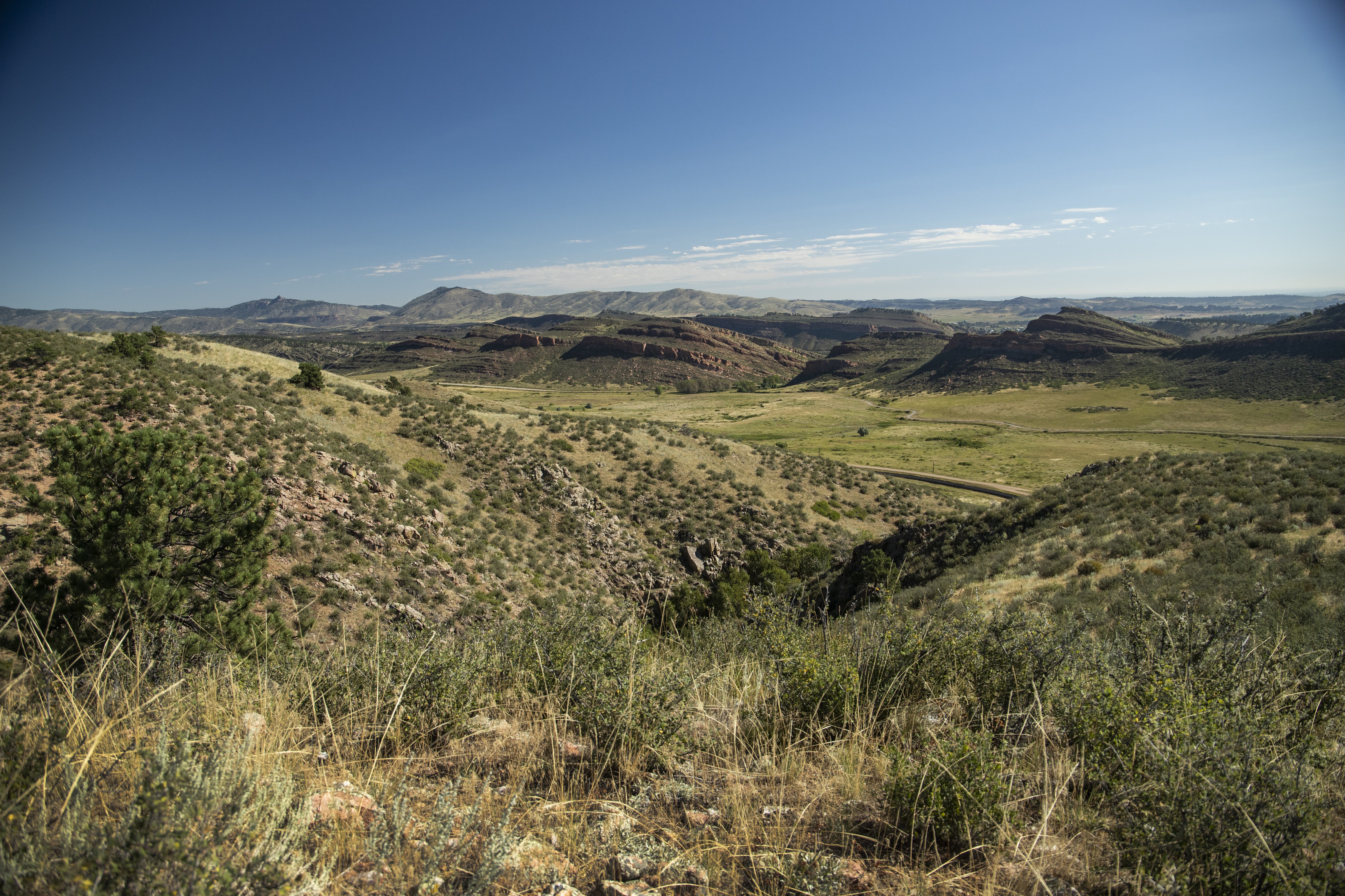
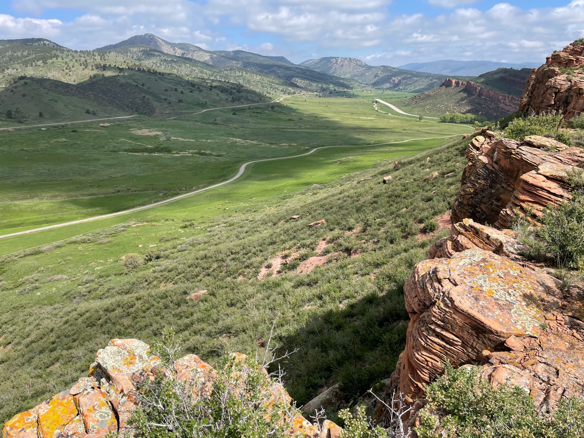
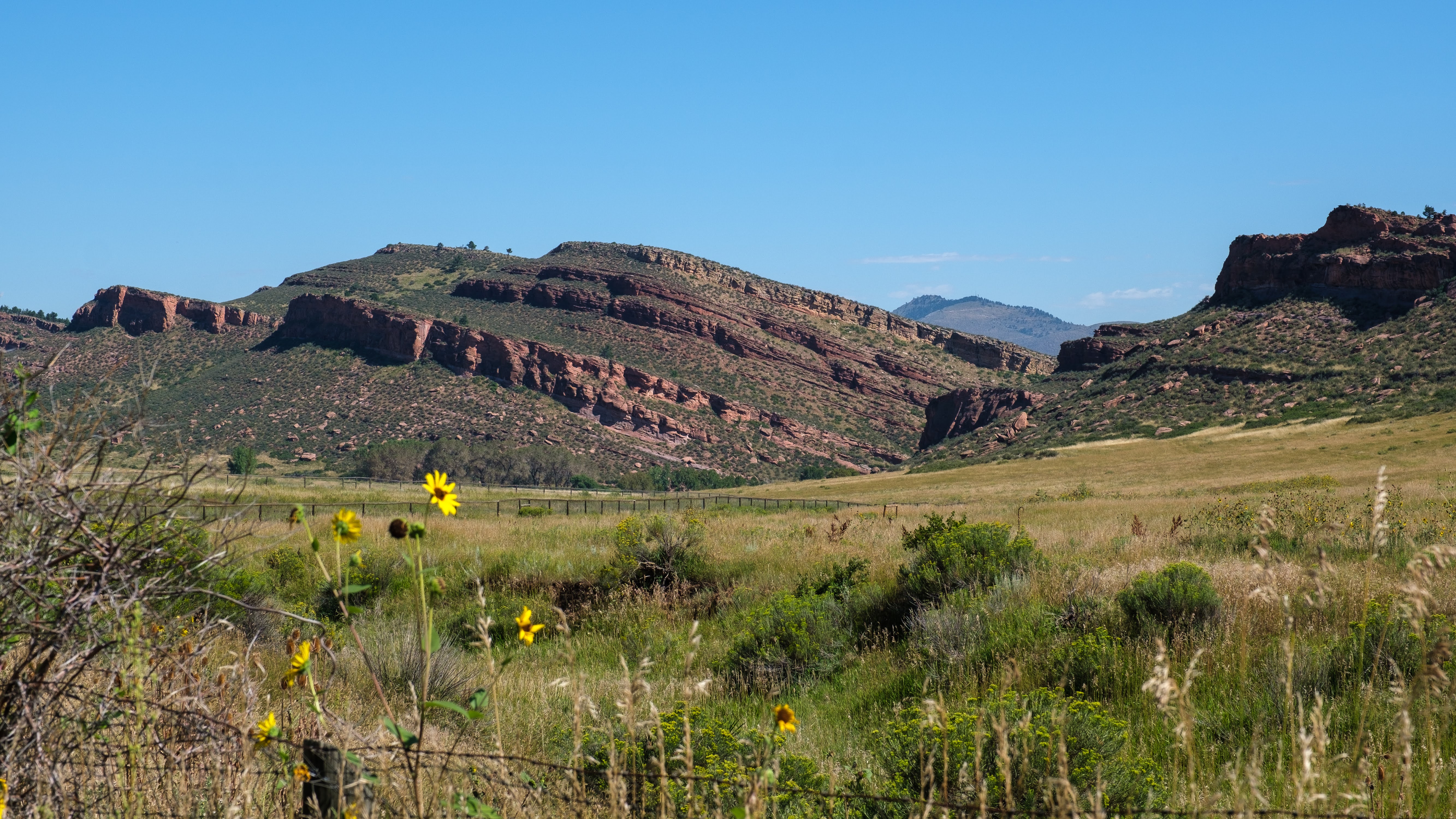
This 1,547-acre property of dramatic hogbacks and canyons, ponderosa pine woodlands and mahogany and mixed shrublands near the foot of the Big Thompson Canyon is currently being developed with limited public access. Formerly known as Heaven's Door Ranch or the Blue Mountain Property, the Department of Natural Resources is pleased to announce that the open space will be called Canyon Edge Open Space, following the recent completion of a public naming process.
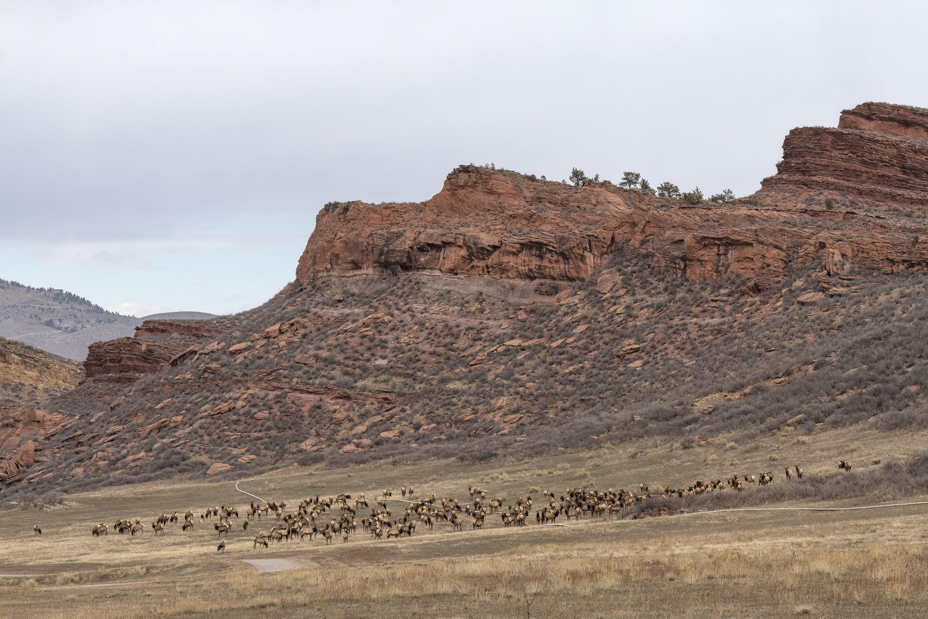
The land provides important winter range and travel corridors for wildlife, including elk and bighorn sheep. Other wildlife to be found here include red-tailed hawks, mountain lion, bobcat and black bear, as well Allen's and Townsend's big-eared bats.
The county acquired this former ranching property in 2022 and is currently in the process of restoring the land to its natural splendor while creating and developing land management plans, picnic areas, parking and bathroom facilities and public trails.
Once the Department of Natural Resources is finished readying the open space (tentatively around 2030) this awe-inspiring area will rank as one of the crown jewels of northern Colorado’s open space system.
As we prepare for full public opening, we are offering limited public tours, starting in 2024. Registration for tours can be made through our public calendar link here: https://offero.larimer.org/calendar These tours will be offered regularly each year until the space opens to the public.
Features
Map & Directions
Trails & Weather
Trails
List of All LC Trails
 Facebook
Twitter
Facebook
Twitter
Weather
Alerts from the National Weather Service:
Effective: | Onset: | Expires: | Ends:
Larimer County Emergency Department Alerts: View Sign Up for Email & Text Notifications
Weather
Weather
-Hour Forecast
° HI:
%
%
Precip: Precipitation Probability
Humid: Relative Humidity
Wind: Wind miles per hour & direction
Photos
Click a photo to enlarge.